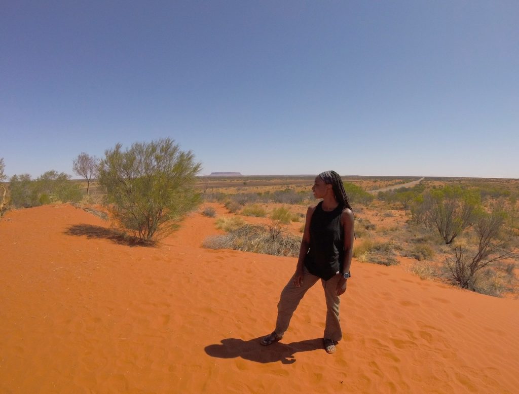
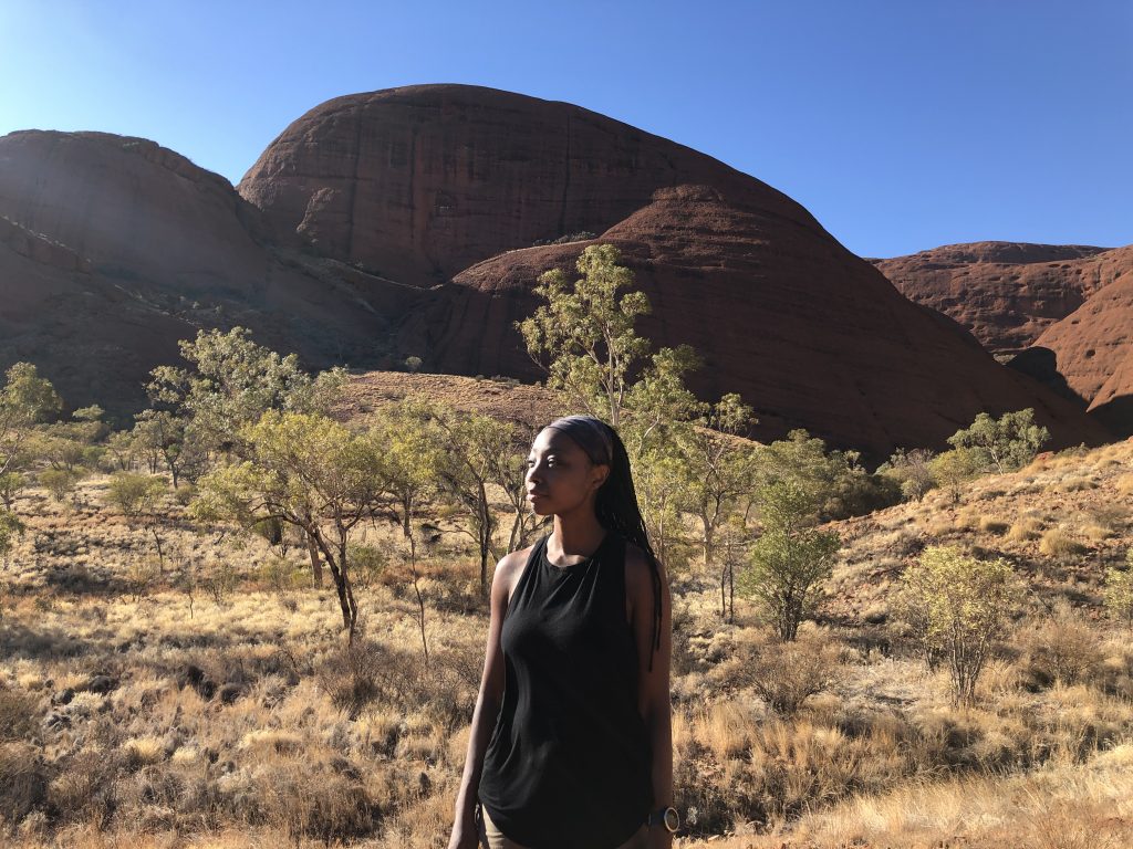
The Valley of the Winds at Kata Tjuta was by far one of my favorite experiences while in the Northern Territory of Australia. It combines dramatic landscapes with breathtaking views and an ethereal sense of peace.
Sacred Land without a Story…for Guests
Kata Tjuta was known by the colonist as The Olgas. It has now been returned to the Anangu and it’s original name restored.
When compared to nearby Uluru, Kata Tjuta has fewer tourists, zero official guides, and substantially less hype. Though the trails are marked well enough, it still feels pristine and mysterious.
The traditional custodians of the land have not revealed much about how they use the site or even where some of the most sacred nooks are located. All that guests are told is that there are many men’s ceremonies observed here.
What I can say is that the site feels so very powerful. I was fortunate to go with a small group. We encouraged one another in the tough spots. We made sure that everyone stayed hydrated. But we also gave each other plenty of space to soak it in Kata Tjuta’s unique energy. After the hike, several of us agreed that the space emanated this amazing sense of peace and reverence that’s hard to describe. Though spring in the Norther Territory is miserably hot, the hike at Kata Tjuta felt invigorating.
The Hike: Valley of the Winds
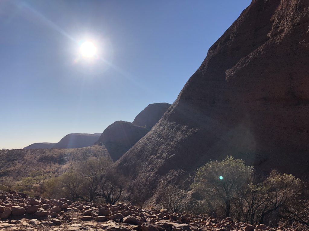
Kata Tjuta is a cluster of 36 sandstone dunes that extend across nearly 13 square miles. Most of Kata Tjuta is restricted. The Valley of the Winds, however, is an amazing trail that gives you a terrific sample of the landscape.
I’d rank the 4.35-mile trail as moderate. There is some rock scrabbling and ascents that require stability and your wits. Taken at a steady pace, it is accessible to most healthy people.
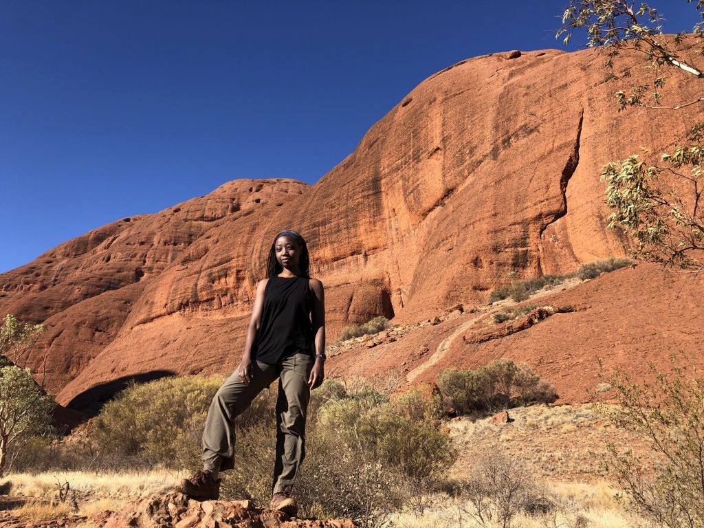
The first half mile is super easy. It meanders through flat terrain before gradually ascending to the 500 million year old sandstone mounds. When the rock begins, there are 18,085 stairs that descend into the valley.
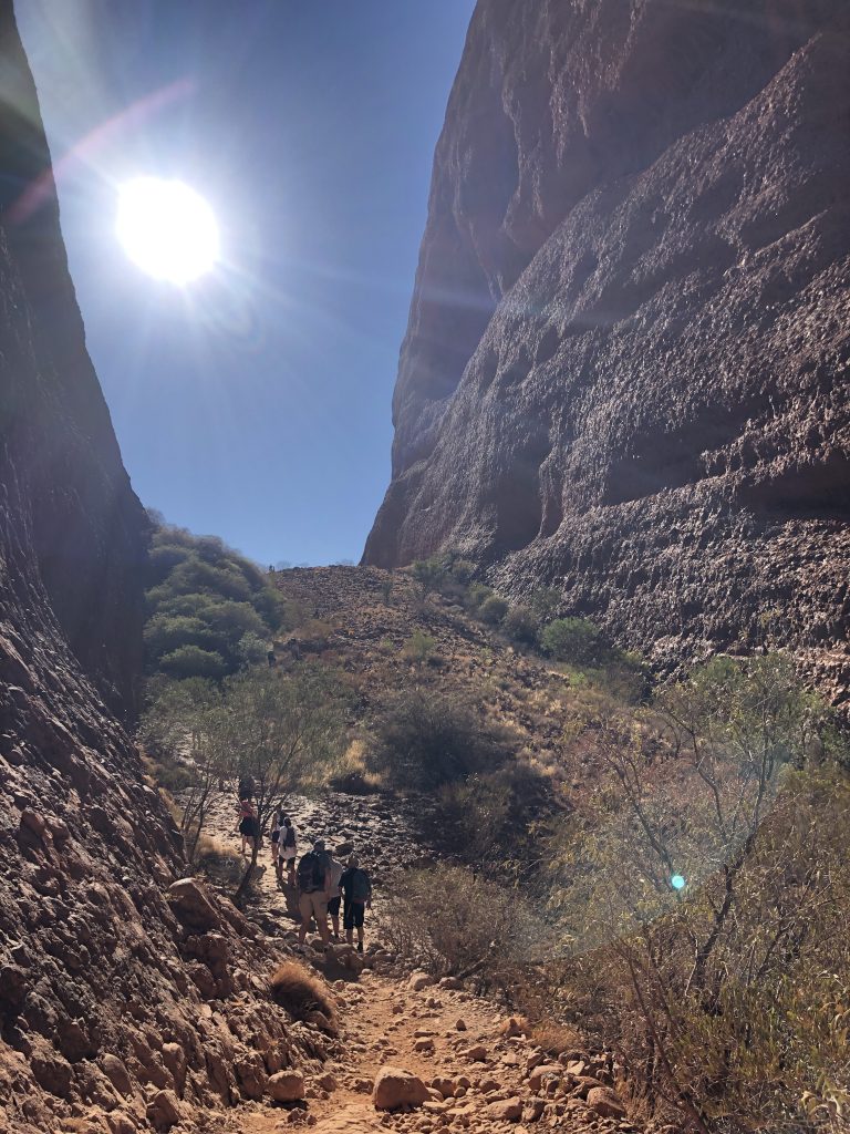
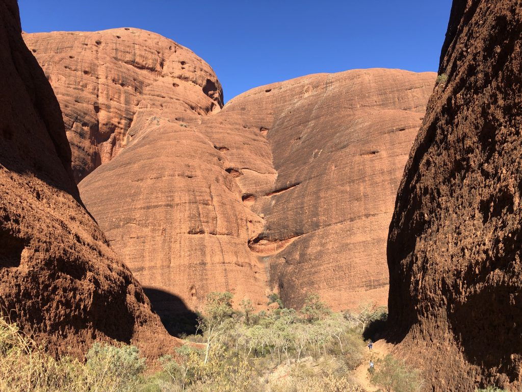
From there, the terrain is a wildcard. Up, down, across tiny streams, scrambling over massive boulders and shimmying through narrow passageways. The diversity of the trail is why I loved it so much!
Everywhere you look offers a majestic view.
Travel Tips
Begin your hike at sunrise. You will be surround by stone. As the daylight heats those stones, you’ll feel like you’re hiking in a brick oven. When you’re not in the valley (the second half of the hike) you’re fully exposed to the harsh sun of the Northern Territory.
Evening hikes may be nice but the stones have heated all day. That heat is slowly released in the evening, so you won’t feel cool during a sunset hike. Mornings are best.
At all times of year, be prepared with plenty of water. There are 2 water stops and some shaded valleys in the portions closest to the parking lot for lunch and rest.
Although it’s fewer than 20 miles from Uluru, there were very few flies! Hooray! I suppose the winds are too strong. I only used my fly net at the segment of the trail near the parking lot.
Finishing the Narrative
Uluru and Kata Tjuta are part of a trinity of holy natural monuments. The third is Atila (or Artila, Atula, Attila or Artilla) about 62 miles away from its sisters. Unlike Uluru and Kata Tjuta, Atila is a mesa, formerly part of a larger mountain range.
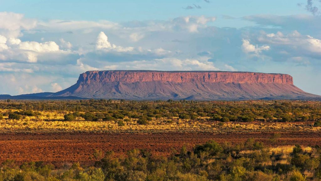
The colonist call it Mount Conner and I don’t foresee the name changing anytime soon. It sits on a private cattle station. It’s shrouded in coldness and isolation now. That must be heartbreaking to its traditional custodians.
There is only one tour company that will take you to Atila. (You can’t book tours independently.) That tour company explicitly states that “You will … learn about the European history of the region” with zero effort to honor its ancient heritage. Though Atila is part of the Anangu a trifecta of holy sites in the region, its isolation and oppressed history make it impossible to complete the local narrative.
